The world’s first AR trail discovery app
Point your phone at the mountain. See every trail.
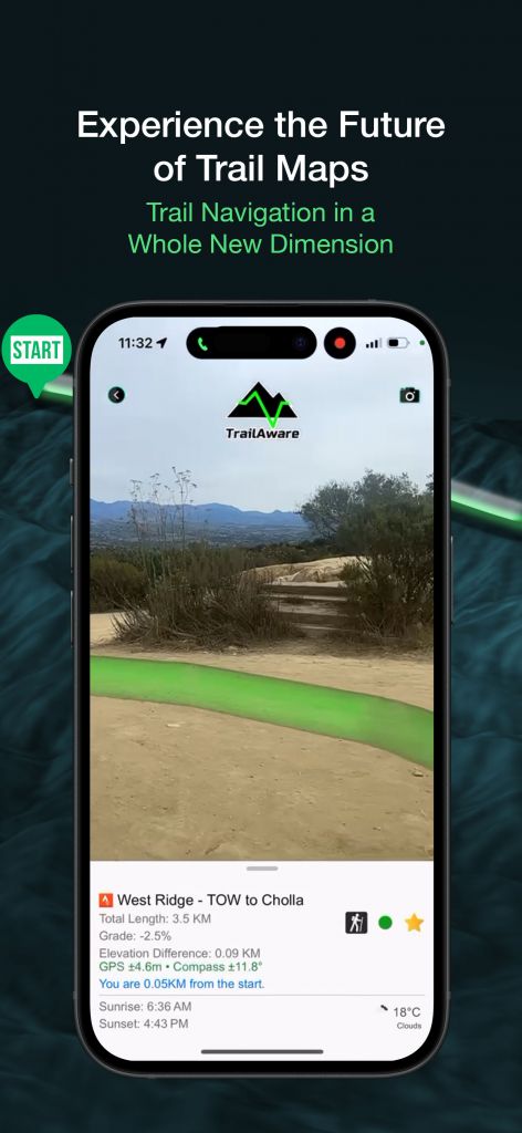
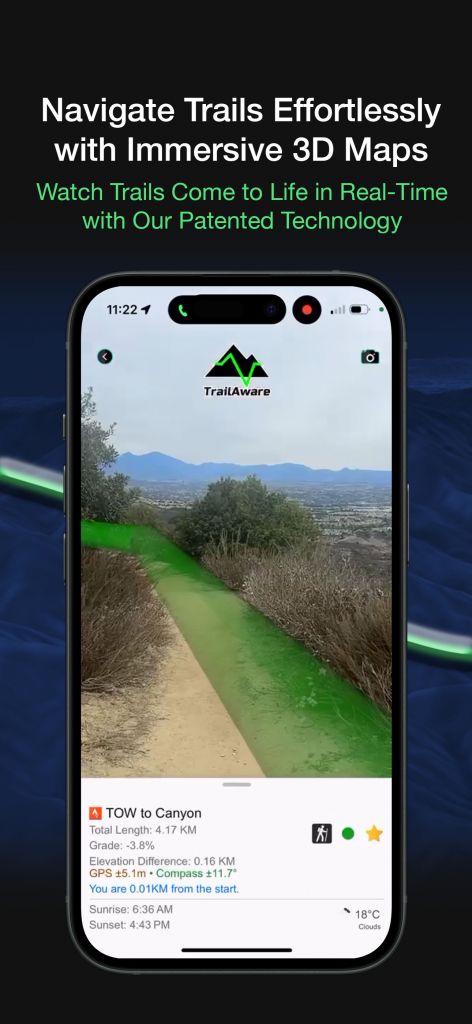
TrailAware draws the trail on the real world, live through your camera. Watch trails come to life, follow the line, and never second-guess a turn again. Free on the App Store.


Straight from the app
Real trails, real terrain, live through the camera.
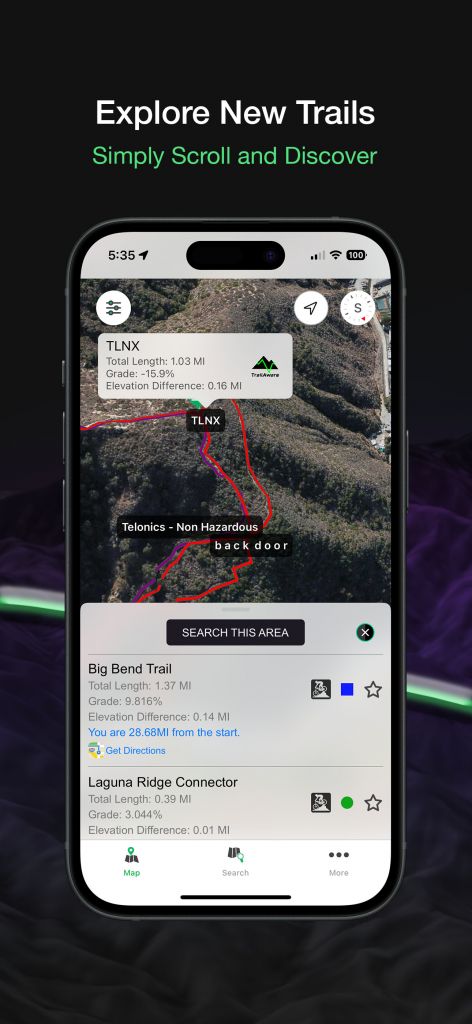
AR trail navigation, wildfire safety, and offline maps — in one app.
Lead with what makes TrailAware different: you actually see the trail on the ground in front of you.
See the trail in AR
Point your camera at the mountain and the trail draws itself onto the real world — the exact line, right on the dirt in front of you. No more guessing the turn.
Live wildfire alerts
Real-time CAL FIRE incidents and active burn areas, drawn right on your map. See what’s burning and where before you ever leave the trailhead.
Works with zero signal
Trails and maps are bundled in the app — 15,000+ trails across 23 states, ready deep in the backcountry where the bars run out.
Find your ride in seconds
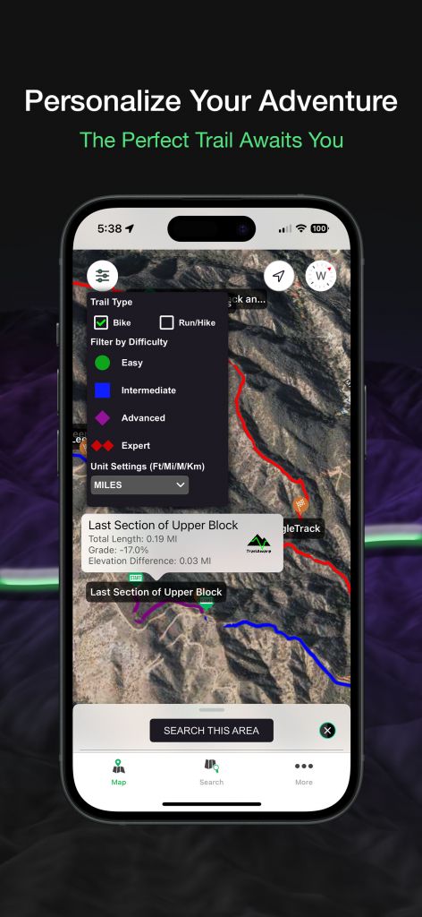
Search by trail name, area, or state, then filter by difficulty, sport, and distance. The right trail for today, without the scrolling.
Read it at a glance
Every trail is dual-coded by difficulty and sport — shape and color, colorblind-friendly — so you know exactly what you’re dropping into.
Know the climb
Total length, grade %, elevation gain, and a full elevation profile for every trail. No nasty surprises on the way up.
Share any trail
Send a trail to a friend with a single link — they get the map and the details in their browser, whether or not they have the app yet.
Bring your own GPX
Import your own GPX trails, sort them your way, and keep them private or publish to the community — imported tracks draw in AR just like the built-in ones.
Capture & share in AR
Snap a photo or record video of your trail view — glowing AR line and branded overlay included — and share the run in a single tap.
And there’s more coming: group rides, route building, offline map packs, and Android are on the way — see what’s free and what’s Pro →
See trails on the real world.
Free on the App Store. Your next ride is already drawn.